


Deltares leads major European study on damping of waves by vegetation
 Research institute Deltares leads the consortium FAST - Foreshore Assessment using Space Technology - that started a major four year European research project to look at the impact of vegetation on waves using satellite data and field measurements.
The study aims to develop a software tool for water managers and consultants that will allow them to determine the role of vegetation in damping waves in a particular area.
Other participants in the FAST-consortium are Royal Netherlands Institute for Sea Research NIOZ (the Netherlands), University of Cambridge (United Kingdom), GeoEcomar (Romania) and University of Cadiz (Spain).
 Potential cost savings on dike upgrades
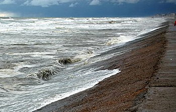
The role of vegetation in damping waves is important as it may have implications for the design of dike upgrades. If vegetation plays a major role in damping the impact of waves on a particular dike section, it may be possible to make savings on upgrading the dike.
At the moment, the impact of vegetation is not included in calculations for dike assessments anywhere in the world.
With FAST, this consortium will generate the first standardised tool for integrating ecosystem properties into flood risk management strategies. To achieve this objective, space technology and field measurements will be combined to study 8 foreshores and floodplain ecosystems in the four European countries.
 Software to stream satellite data
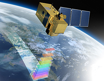
FAST will develop a new service to improve strategies for flood risk management by increasing sustainable development and cost reductions with the integration of ecosystem services into traditional flood risk engineering solutions. The FAST tool will be a software package that utilizes earth observation data streams from satellites such as Sentinel.
The development of this software requires estimating environmental and biological characteristics of foreshore and floodplain ecosystems from satellite images. To do so, it will need field data calibration, the development of relationships between ecosystem and coastal defence properties, and the translation of science into engineering and economic language.
Involvement of end-users
A key aspect of FAST is the involvement of end-users during the design, development and validation of the software. The end-user groups include environmental agencies, coastal offices, councils, land use managers, non-governmental organizations and private companies.
Close contact with end-user groups will help to produce tailored tools for regional end-user needs, ensuring commercial uptake and long-term continuation of services.
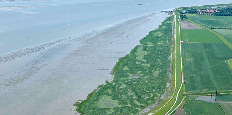
(top photo: Rijkswaterstaat beeldbank - Joop van Houdt)
This news item was originally published on the website of Deltares.
More information
Deltares
Delft, the Netherlands
+31 88 335 8201
www.deltares.nl