Dutch expertise helps decode Valencia floods
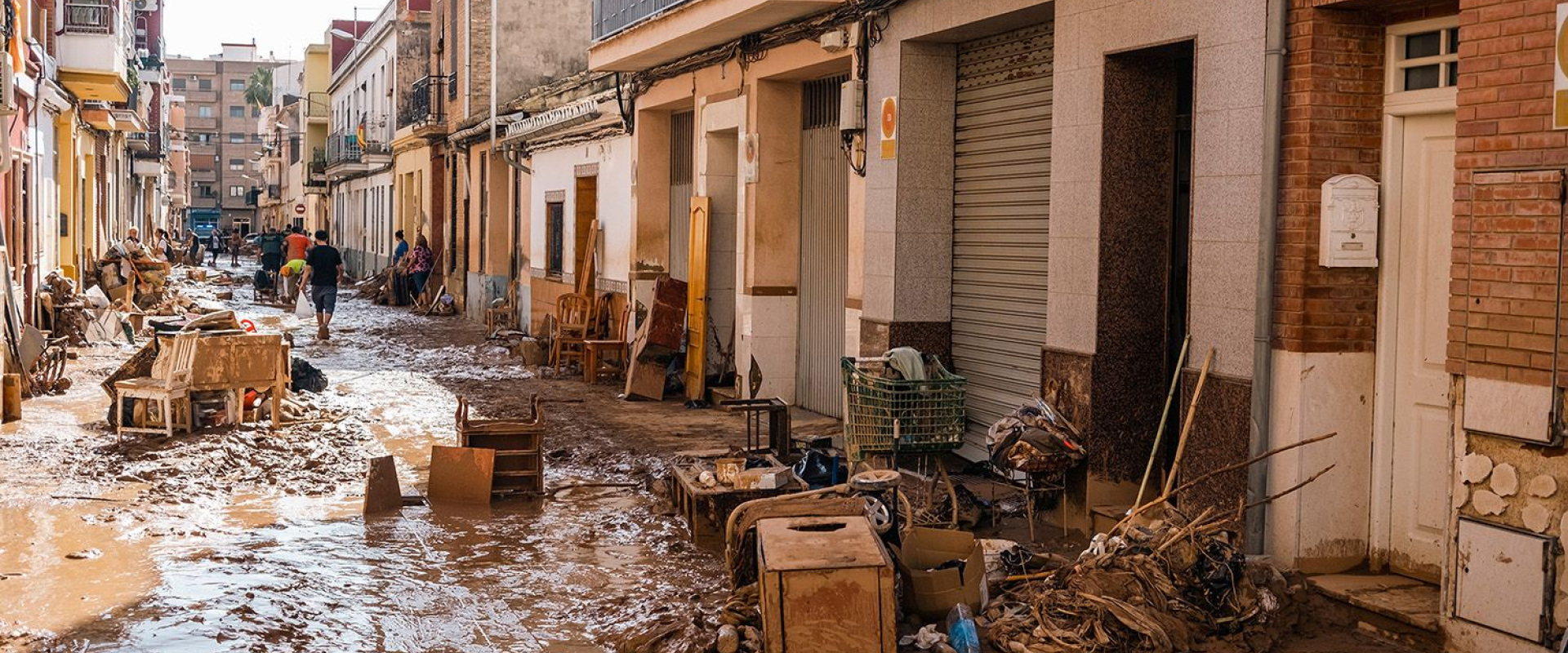
On 29 October 2024, the Valencia region of Spain faced one of the most devastating floods in recent memory. Torrential rainfall overwhelmed rivers, urban drainage systems, and communities, resulting in widespread damage, disruption, and the tragic loss of life. Early reports showed total rainfall exceeding 150 millimetres in just 24 hours, enough to turn normally calm waterways into raging torrents. The floods highlighted both the vulnerability of urban and rural areas to extreme weather events and the challenges of issuing accurate and timely warnings.
While meteorological authorities had anticipated heavy rainfall days in advance, the rapid escalation of water levels in the Magro river basin and downstream regions demonstrated how even sophisticated weather forecasts can struggle to capture the local intensity and timing of rainfall. It was in this context that Dutch researchers, applying their expertise in hydrology and water management, were able to generate fresh insights into the causes of the disaster and identify ways to improve early-warning systems worldwide.

Citizen science and personal weather stations
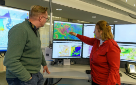
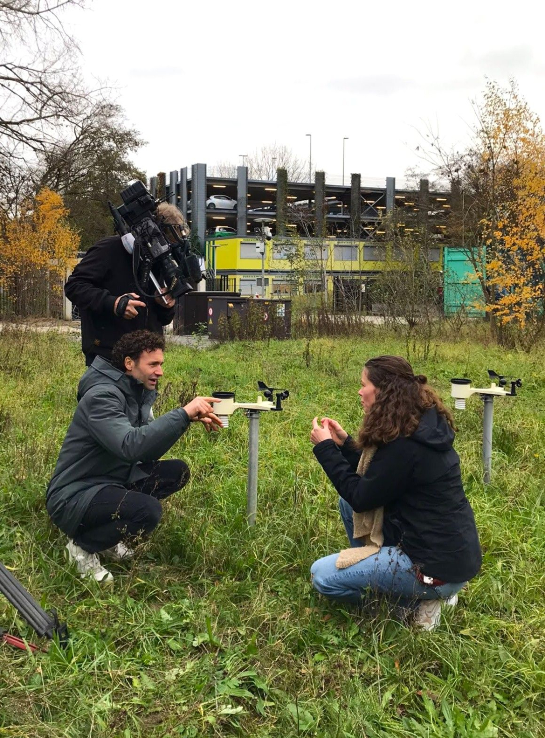
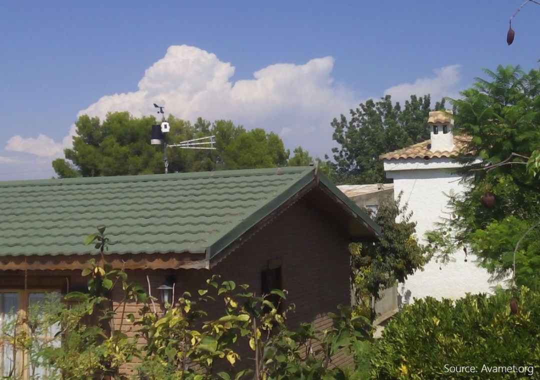
At the heart of this analysis is the work of Nathalie Rombeek, a PhD candidate in flood forecasting at TU Delft. Rombeek reconstructed the Valencia floods using data from 225 personal weather stations installed by residents in gardens and on rooftops throughout the region. In contrast to traditional meteorological networks, which may be spaced dozens of kilometres apart, these personal stations created a dense, hyper-local network of rainfall measurements.
“This network allowed us to see exactly how rainfall accumulated in different parts of the river basin,” Rombeek explains. “We could track the peaks in rainfall upstream and downstream, and understand how they coincided to produce such devastating flooding.”
By analysing this data, Rombeek showed that the first rainfall peaks in the Magro river basin occurred in the morning, with more than 130 mm of rain already recorded by local stations before official forecasts were fully confirmed. By early afternoon, the Magro river had burst its banks and, tragically, the first fatalities occurred. Later in the day, another surge in rainfall struck downstream, compounding the effects of the initial flood wave.
“This combination of peaks in different locations along the river channel explains why the flooding was so severe and why existing warnings were not adequate,” Rombeek explains.
Limitations of traditional flood warnings
The Spanish Meteorological Institute (AEMET) had issued a general flood warning six days prior to the storm. The alert covered a large area of Valencia province, approximately 20,000 square kilometres, reflecting the difficulty of predicting where the heaviest rainfall would occur. On the day of the storm, the warning level was raised to red, indicating exceptional danger, but still for a broad area rather than specific at-risk locations.
For residents in downstream cities like Valencia itself, the severity of the threat probably only became apparent when an emergency message was sent at 20:00 by the regional civil protection agency. By then, personal rain gauges upstream had already recorded between 200 and 300 mm of rainfall, and the flood wave had caused enormous damage.
Rombeek highlights a key challenge in flood forecasting. “It is very difficult to warn the right people at the right time. Warnings must be reliable. If false alarms are raised too often, both citizens and government staff stop feeling the urgency. It is therefore crucial not only to issue warnings earlier but, above all, more accurately. That increases credibility in the long term.”

Real-time data for accurate forecasting
One of the most innovative aspects of Rombeek’s research is the use of real-time rainfall data from personal weather stations. Most modern personal stations are connected via Wi-Fi, sending rainfall measurements every few minutes to an online platform. Compared with national meteorological networks, these citizen-operated stations are far denser, offering a granular view of rainfall intensity and distribution across the basin.
Professor Remko Uijlenhoet, Rombeek’s supervisor and an expert in hydrology and water management at TU Delft, explains its significance. “The network of personal weather stations is much denser than that of national meteorological services. The information is often available in real time. By combining this data with official measurements, we can greatly improve the detail and accuracy of flood forecasts.”
While not every home station is perfectly calibrated or resilient during extreme weather, the large number of stations allows researchers to apply statistical methods to filter out unreliable data. “A single station may fail, but the wisdom of the crowd ensures that the combined dataset gives a reliable picture,” Uijlenhoet said.
The insights gained from this approach are particularly valuable in regions prone to flash floods or sudden river surges, where the precise timing and location of rainfall can make the difference between timely evacuation and disaster.
Dutch expertise applied internationally
The work of Rombeek and Uijlenhoet is part of a broader trend in which Dutch water management knowledge is being applied internationally. The Netherlands has long been a global leader in flood control, water engineering, and hydrological modelling. Dutch expertise ranges from advanced canal and levee systems to cutting-edge predictive modelling and citizen engagement strategies.
Using the Valencia case as an example, Dutch researchers are demonstrating how dense networks of real-time sensors, combined with sophisticated hydrological models, can help authorities anticipate floods more accurately. This approach is not only applicable in Spain, but is already being used to study floods in Limburg, The Netherlands (2021), and the Guadalupe River in Texas (2025). By learning from these diverse experiences, authorities can implement early-warning systems that are more precise, timely, and actionable, potentially saving lives and reducing damage.
Rombeek is optimistic about the global potential of these methods:
“The combination of personal weather stations and Dutch modelling expertise can be applied anywhere in the world. Whether in Europe, North America, or low-income countries facing increasing flood risk due to climate change, this approach helps authorities issue accurate warnings and take proactive measures.”
Beyond rainfall: Integrating new data sources
Another exciting frontier for Dutch water experts is the integration of alternative data sources into forecasting models. For example, cellular communications networks are a rich source of information about rainfall and surface conditions. While access to this data requires collaboration with telecom companies, it represents a powerful tool for improving flood prediction in regions with sparse meteorological infrastructure.
Professor Uijlenhoet highlights the value of opportunistic sensing. “If we can combine rainfall measurements from personal weather stations, official networks, and even mobile networks, we can obtain an unparalleled real-time view of flood risks. This kind of integrated system could be deployed globally, helping communities prepare for extreme weather events more effectively.”
Rombeek concludes that “Platforms like this show how data and expertise can be mobilised globally. By combining local observations with Dutch water management knowledge, we can turn innovation into actionable solutions, wherever floods may occur.”
References:
Rombeek, N., Hrachowitz, M., and Uijlenhoet, R. (2025). ‘Torrential rainfall in Valencia, Spain, recorded by personal weather stations preceding and during the 29 October 2024 floods’, Hydrology and Earth System Sciences, 29, 6715–6733. https://doi.org/10.5194/hess-29-6715-2025
TU Delft Story of Science: ‘Calling for Rain’ – exploring the potential of mobile networks in rainfall measurement, https://www.tudelft.nl/en/stories/articles/calling-for-rain
