


Fugro Water Services maps flood extents for German authorities
The German State Authority of Hesse has asked Fugro Water Serivces to map the extent of the recent floods of the river Werra. The flood maps will be used by the government to verify and if necessary modify the present flood prediction models.
The models provide crucial information for emergency response activities, maintenance and designs of flood protection measures.
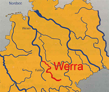
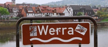 With a length of 70 km, the Werra River flows generally north through the towns Detmold, Lage, Bad Salzuflen, Herford and Löhne and crosses four German States.
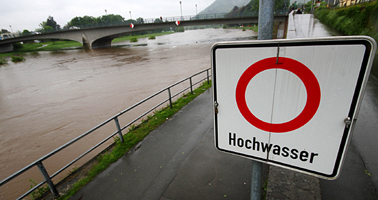
Due to unseasonal heavy rainfall, the worst in central Europe since 2002, many towns and cities in Germany, Austria, the Czech Republic and the Danube region are flooded. Thousands of people have been evacuated from their homes in the state of Saxony and thousands more in Saxony-Anhalt and Bavaria and crucial infrastructure has been disrupted by the rising waters in the region.
 About Fugro Water Services
Fugro Water Services supports clients in assessing and understanding the nature of water related challenges and advises on risks and mitigation measures. Specific areas of experise are water defense and flood control , water resources management and urban water infrastructure.
This news item was originally published on the website of Fugro Water Services.
More information
Fugro Water Services
Leidschendam, the Netherlands
+31 70 311 14 30
www.fugrowaterservices.com