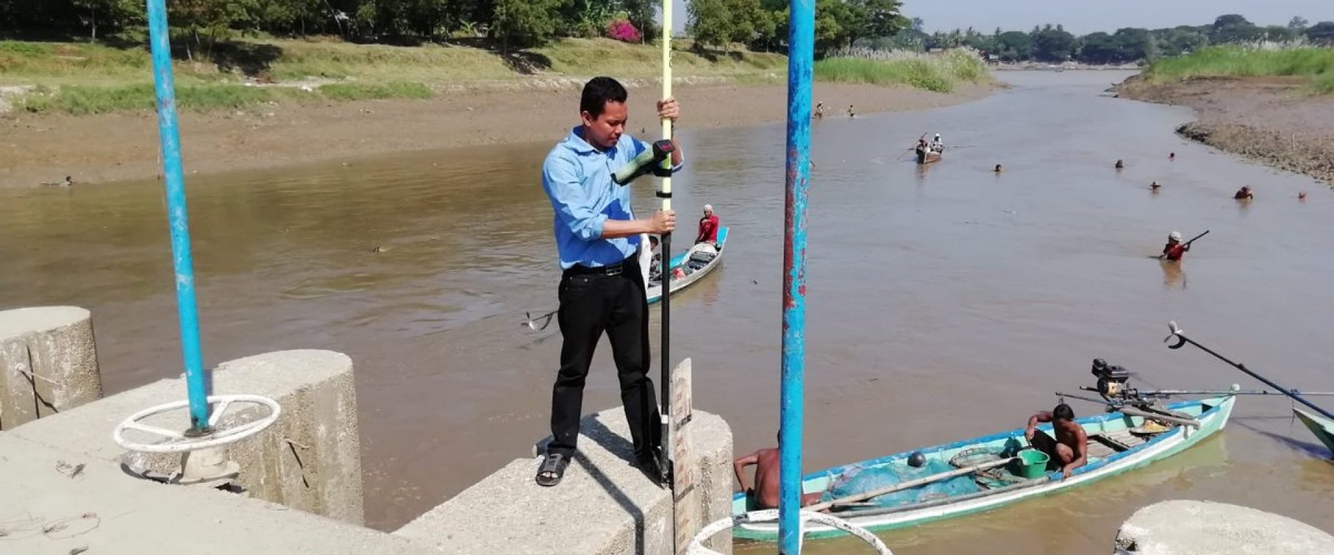
Smart sensoring rolled out for better water management in Myanmar
Earlier this year the project ‘Leapfrogging Delta Management in Myanmar’ was successfully concluded. For two years Dutch and Myanmar experts, including young professionals worked together on this project.
By using smart monitoring and modelling technologies they gained insights in rainfall, river flows, erosion and soil subsidence. The collection and handling of online data, using mobile phones and specially developed apps, sets out the Myanmar’s water authorities on a state-of-the-art water monitoring system.
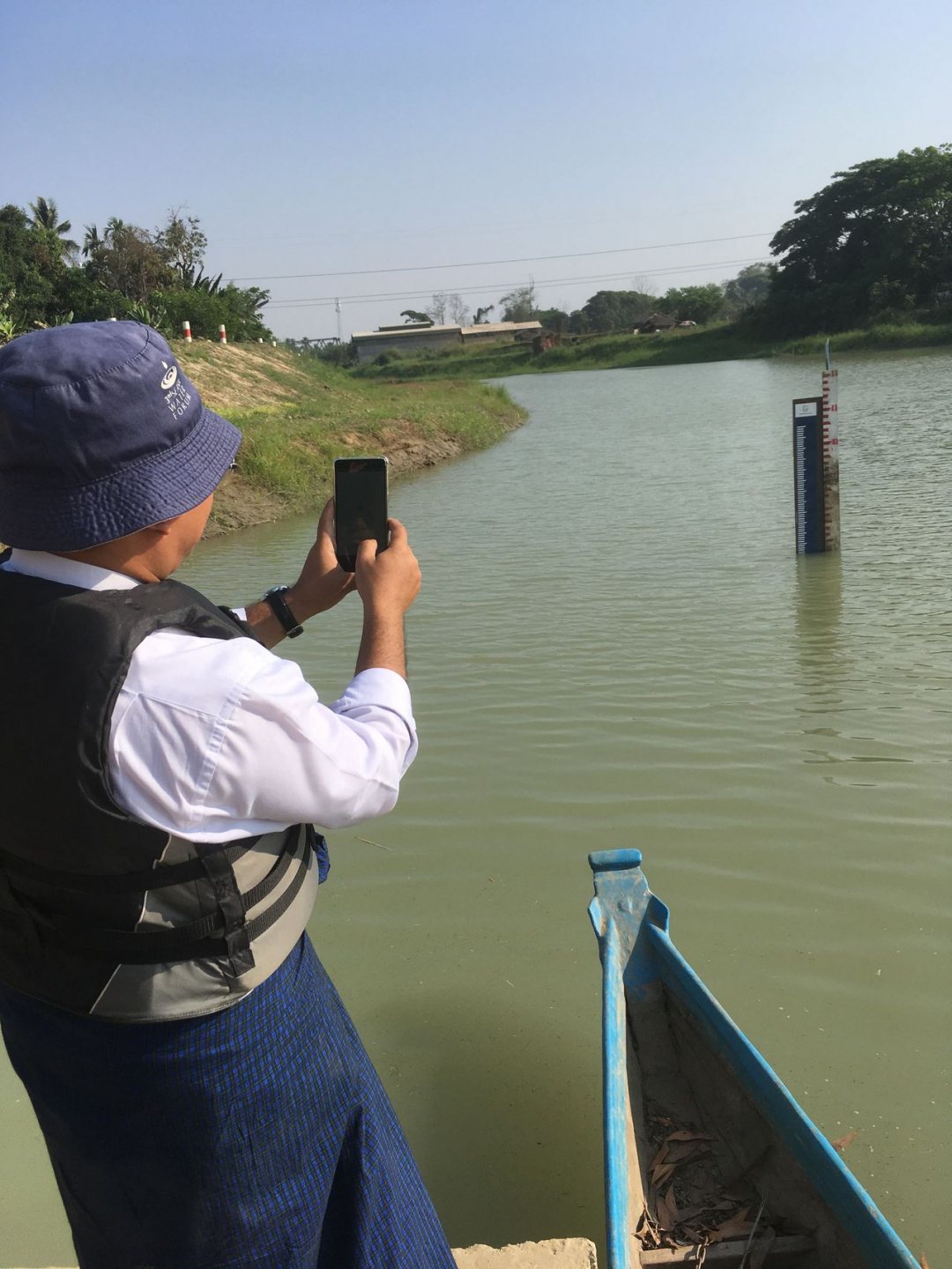

Upscaling to Ayeyarwady delta
The main aim of the project was to extend the initial work on innovative smart information solutions tested in the Bago-Sittaung river basin to the whole Ayeyarwady Delta.
Coalitions were created around specific information products. In each coalition, partners work on innovative monitoring technologies to combine remote sensing, ground data collection with modelling techniques.
The partners in the coalitions were the Myanmar National Water Resources Committee, Irrigation Technology Center (Bago), Yangon Technological University, Myanmar Maritime University, VPdelta, TU Delft, Disdrometrics, FutureWater, Akvo, SHORE Monitoring & Research, Mobile Water Management, HKV Lijn in Water, SkyGeo, Wavedroid and VanderSat.
A paradise for engineers
According to Marjan Kreijns of VP Delta, one of the Dutch partners, Myanmar is very suited for this kind of innovation. "It’s a ‘paradise for engineers. The innovations could be implemented very quickly, because there were no existing structures that needed to be adjusted."
Thanks to the project, financed by the Partners for Water programme, the country gained access to the latest innovations, she continues: "They are happy with everything. It went from: do you have a method for measuring water quality very quickly? Fantastic! Let’s go!"

Mapping river depths
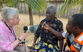
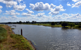
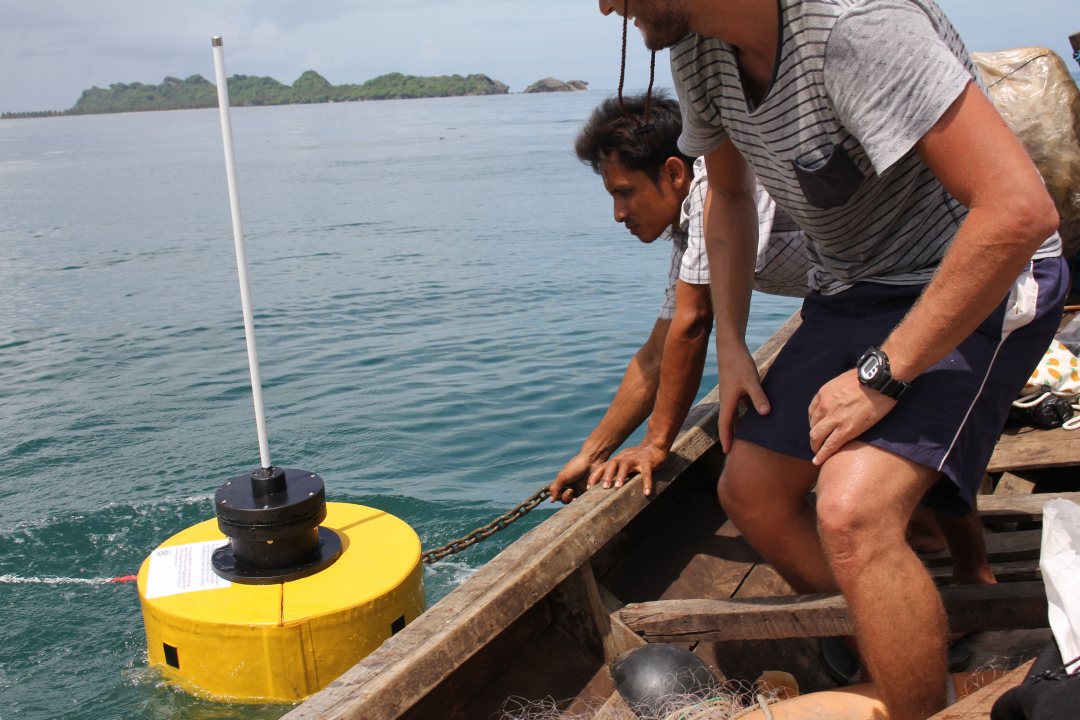
Kreijns: "Take the traditional fishing boats. With sensors you can nowadays transform them into a high-tech measuring system that allows you to map the river depths in remote areas. Innovative smart buoys collect wave measurements off the coast in a cheap way." The project showed that high-tech technology that used to be unaffordable is now within reach of developing countries as a result of the digital revolution.
The results of the project will be presented in an online platform to disseminate the products and services to a local and international audience.
