Better credit access for smallholder farmers thanks to satellite technology
Insurance surveyor ACRE Africa and satellite products provider VanderSat seek finance to globally roll out their Tool for Agricultural Risk Advice (TARA) to increase financial inclusion of smallholder farmers.
The prototype version of the tool was proven to be successful with Kenyan farmers, financial services firms and technical providers that are now ready to scale.
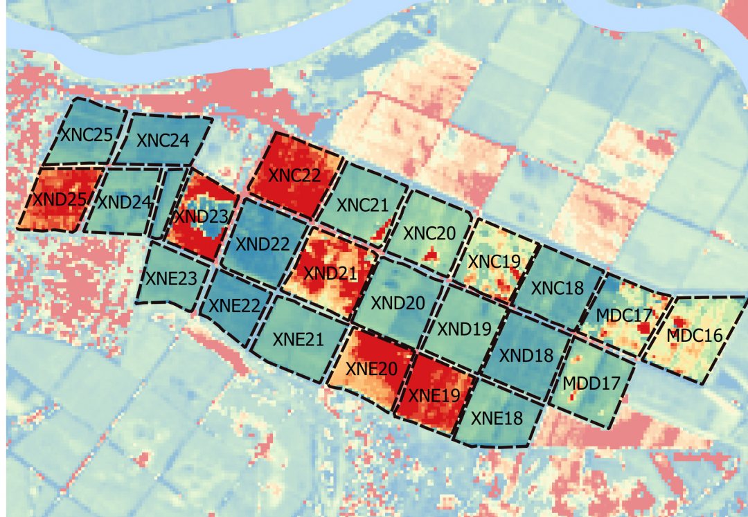

At field-level
Agriculture in Africa is facing difficult challenges the coming decades. Climate change in combination with the exponential population growth will further threaten production and require a smart usage of the limited water resources.
The recent launch of a series sophisticated satellites from different space agencies as well as patented downscaling technique enables VanderSat to measure water availability within an agricultural field.
The TARA-tool uses a long historical record (over 15 years) and near-real time data combined with agronomic knowledge to generate agricultural risk information and advisories at field level. This risk information improves current credit scoring methods of financial organisations. Lending to smallholder farmers generally carries high risk of non-payment. TARA reduces both the risk and monitoring costs of financial products which increases the affordability for the smallholder farmer.
The TARA-partners are currently looking for 150,000 to 500,000 euro funding for 2020 – the last round before full commercialisation in 2021.
Insurance pay-out
Index-based insurance links payouts to measurable environmental conditions (index) such as the level of rainfall, yields or vegetation levels as measured by satellites. An insurer can link satellite data directly to the loss of agricultural output and when it exceeds a particular threshold, farmers receive compensation. Africa-based insurance firm ACRE already uses an index-insurance based on VanderSat satellite data for the insurance of 4,500 smallholder maize farmers in Kenya against drought.
Farmers receive financial relief in case of crop failure which increases their climate resilience. Besides scaling the developed 'aMaizing' insurance in Kenya, the insurance will be extended to cover other crops and perils, such as extreme rainfall and pests.
Scaling
In a pilot lending case with a financial organisation, 14 climate risk indicators with predictive power among a group of 400 smallholders.
In the next phase, the two TARA-partners will focus on expanding the range of the tool to all regions in Kenya and to include a payment system. Prototype improvements will include new advisories that warn farmers about drought or extreme wet conditions to help farmers make climate change informed decisions.
These are related to planting, irrigation, use of crop protection and harvesting. Furthermore, the tool will allow for easy integration with other data sources for improved credit scoring.
VanderSat and ACRE Africa have the ambition to provide 600,000 loans to smallholders in four years.
Read more on TARA-website.
