AI-driven coastal monitoring: exploring new tools for Dutch and global water management
The Dutch coastline has long been regarded as a reference for coastal defence and integrated water management. Yet, as sea levels rise and climate risks intensify, many countries are facing similar challenges. Smarter and faster monitoring is becoming increasingly important, not only in the Netherlands, but globally. Recent developments in artificial intelligence (AI) and satellite data are generating more accurate and near real-time information on changes along the coast.
New class of AI tools offering useful insights
This article looks at how a new class of AI tools, known as multimodal large language models (MLLMs), can support the classification and monitoring of coastal zones, potentially offering useful insights for engineers, policymakers and environmental agencies.
This work was carried out by Hugo de Heer as part of his master’s thesis at the Faculty of Electrical Engineering, Mathematics and Computer Science at TU Delft, in collaboration with Deltares, a Dutch research institute specialising in water and subsurface systems.
Why smarter coastal monitoring is relevant
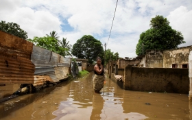
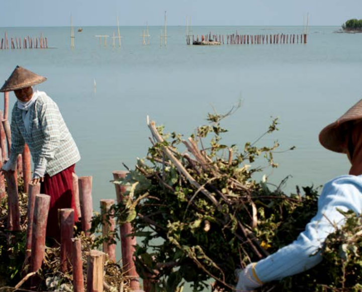
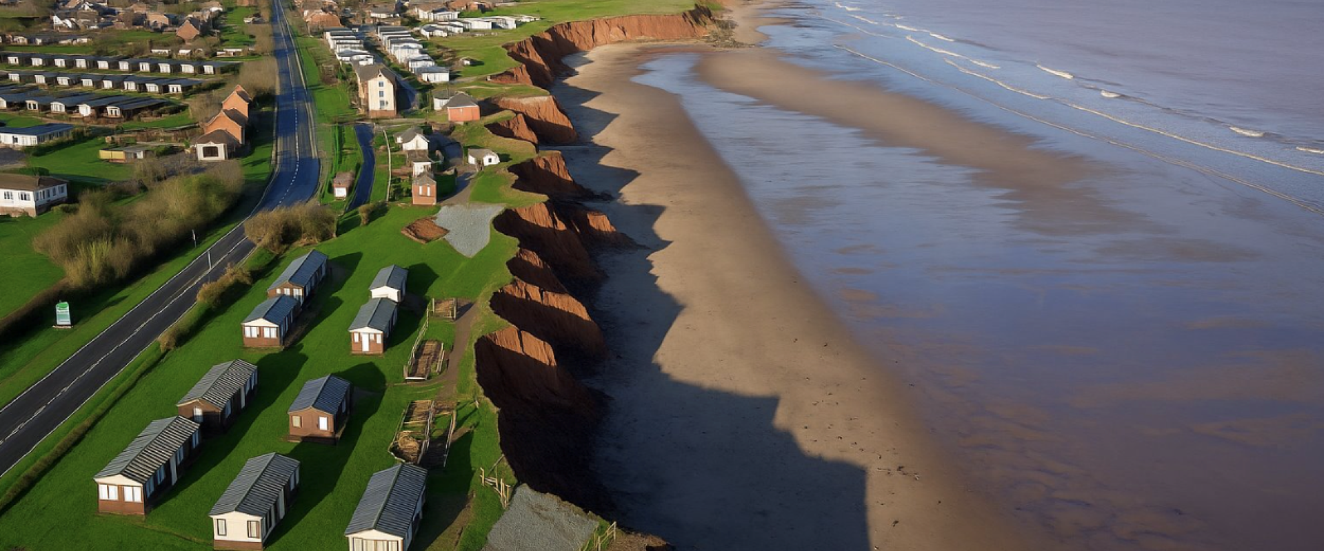
Coastal zones, whether in Bangladesh, Nigeria, the UK or the Netherlands, are home to large populations, significant economic infrastructure, and vulnerable ecosystems. At the same time, they are highly exposed to sea level rise, storm surges and erosion.
Although satellite-based mapping has improved coastline monitoring, conventional approaches are often limited. They may not fully integrate topographic, hydrological or socio-environmental data, which can reduce their usefulness in areas with limited technical capacity.
Emerging capabilities with AI
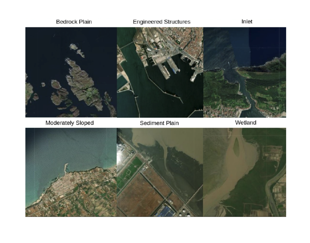
MLLMs are a recent development in AI. These models combine satellite imagery with textual input and interpretation, enabling a more nuanced classification of coastal conditions. Importantly, they can generate written explanations about what is changing and why.
In his thesis, Hugo de Heer adapted the Qwen2.5 model to process 12-channel satellite data, going beyond standard Red Green Blue colourimages by including elevation and water-related indices. Compared to traditional AI models such as ResNet-50, De Heer’s adapted model improves the interpretation of the results.
This is especially relevant for countries with dynamic coastlines and limited monitoring capacity. In these settings, AI models can help assess erosion risks, monitor vegetation changes, and support planning processes with limited resources.
Collaboration between research and practice
The project was a partnership between TU Delft and Deltares. TU Delft made expertise in artificial intelligence and geosciences available, while Deltares provided applied knowledge and access to relevant coastal datasets. The collaboration enabled real-world testing and the validation of the model.

Use cases in and beyond the Netherlands
In the Netherlands, MLLMs could support organisations such as local water boards or the Rijkswaterstaat (Directorate-General for Public Works and Water Management) by:
• identifying vulnerable areas in flood defences;
• monitoring dune restoration and sediment movement; and,
• supporting data-informed approaches to nature-based solutions.
In international contexts, similar applications may include:
• supporting early warning systems and spatial planning in Southeast Asia;
• mapping informal development and wetland degradation in West Africa; and,
• assisting climate resilience planning and risk modelling in the Caribbean.
Tool for decision-makers on the ground
Reliable and timely coastal data are important for risk management and adaptation, whether in the Dutch delta or in small island states in the Pacific. Multi-modal AI models can serve as a support tool for people working in the field, not only data specialists but also planners, engineers and decision-makers.
By combining satellite data with textual explanations, these models may help improve access to complex information, support collaboration, and strengthen data-informed approaches to coastal management.
The thesis will be published in ‘IEEE Transactions on Geoscience and Remote Sensing’, a journal covering methodological developments and applied research in remote sensing of land, oceans, atmosphere, and space.
