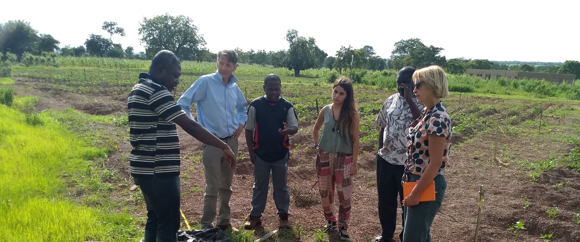
Data collection evapotranspiration on farm field in Ghana
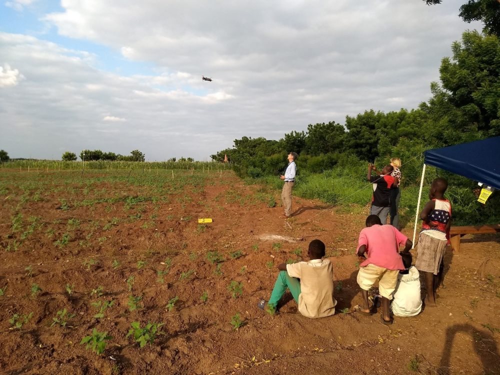
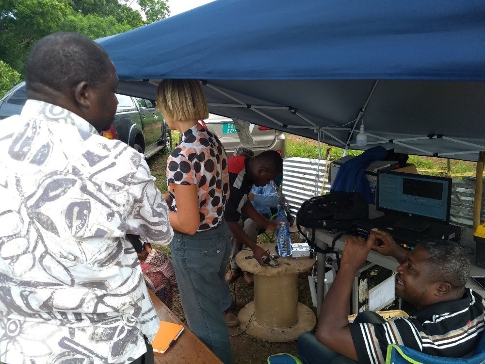
FutureWater and HiView joined TU Delft and local partners to collect data through an underground cable to measure soil temperatures at an agricultural field in Ghana. The temperature measurements provide a temperature profile which can be used to derive soil moisture and can be related to drought and estimates for evaporation from farm land.

Actionable geodata for food production
The field lab testing on the farm field in Nyankpale-Tamale, Ghana, is part the project 'Transforming Weather Water data into value-added Information services for sustainable Growth in Africa' (TWIGA) that covers the whole data chain from sensor observation, to GEOSS data and actionable geo-information services for the African food production market.
The overall objective is to help improve satellite-derived weather forecasting products that can support smallholder farmers in their farm management decisions.
Comparable temperature data
The drones of FutureWater and HiView were equipped with thermal cameras to provide thermal data that can be compared to the data collected from a 1000 m long underground Distributed Temperature Sensing (DTS) cable on the farm field.
Hosted by the Savanna Agriculture Research Institute (SARI), this 1000 m cable has been installed at 5 and 10 cm depth.
Soil moisture
The DTS measurements provide a temperature profile across the field which can be used to derive soil moisture and can be related to drought and estimates for evaporation. The DTS cable will be kept in the soil for over two years and measurement will take place at the start and end of the rainy seasons.
A Trans-African HydroMeteorological Observatory (TAHMO) weather station has also been installed in the field and is continuously collecting weather information and data on soil moisture and soil temperature.

Combination of in situ and satellite observation
The TWIGA-project aims to combine in situ observation with satellite observations and mathematical models. These results translate into products consisting of maps and time series of basic variables, such as atmospheric water vapour, soil moisture, and crop stage.
These products are either produced within TWIGA, or are already available with the GEOSS and Copernicus information systems.
About TWIGA consortium
TWIGA aims to provide actionable geo-information on weather, water, and climate in Africa through innovative combinations of new in situ sensors and satellite-based geo-data. The TWIGA consortium comprises seven research organisations, nine SMEs and two government organisations. In addition it uses a network of 500 ground weather stations in Africa, providing ready-to-use technical infrastructure.
