First 100 Angolan farmers use satellite-based data for sustainable farming
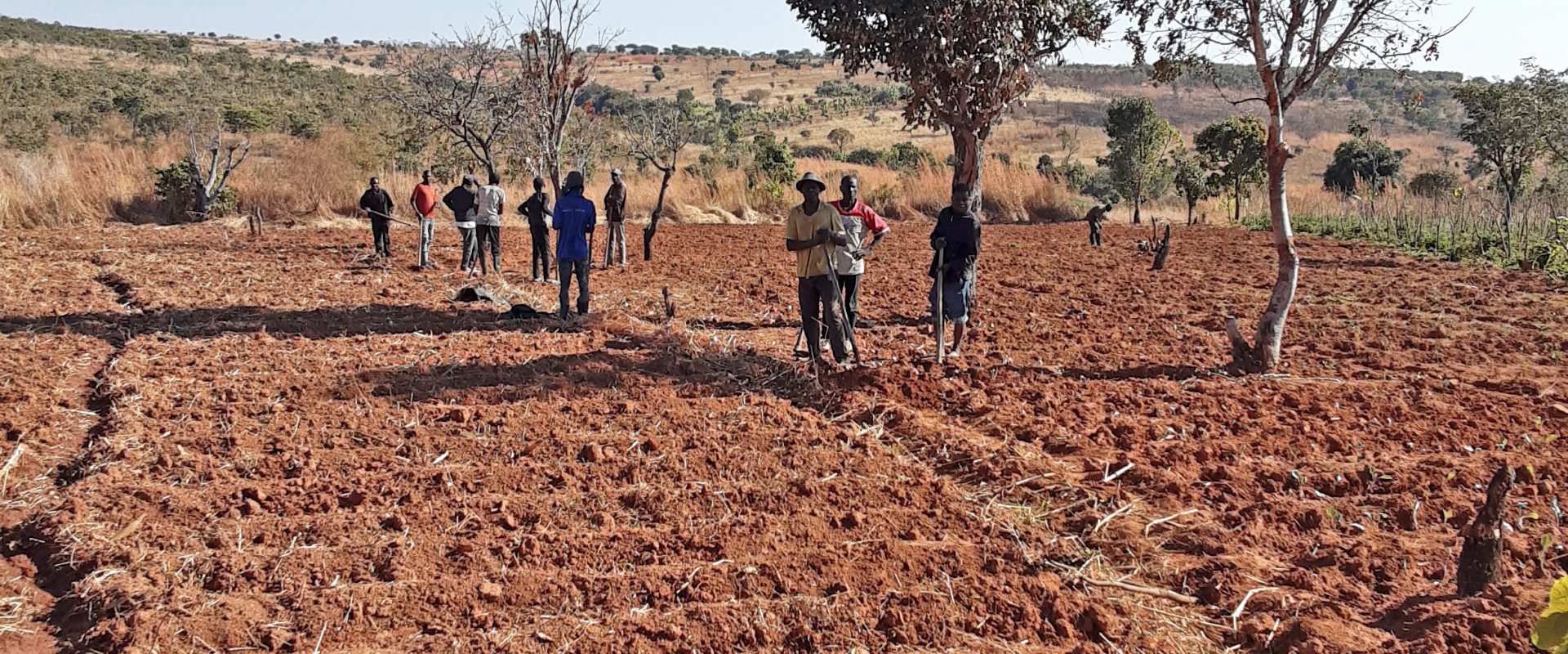
Already 100 Angolan farmers participating in the Mavo Diami project have registered for a new service that provides them with crop advice and weather updates on their smartphone. The overall project goal is to improve sustainable food and income security for over 100,000 smallholder farmers in Angola.
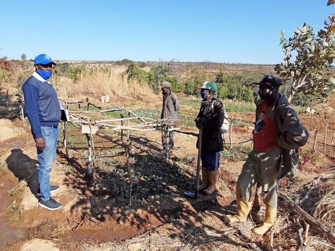

Food and income security
In Angola, more and better-quality datasets allows for better crop suitability assessments over large extensions of arable land to ensure sustainable food and income security. Such datasets, that include soil texture, soil water storage capacity, vegetation growth, terrain slopes, rainfall and air temperature, are already available from satellite-based products and machine learning observations.
Visualized on maps the spatial variation can easily be shown and farmers can identify the most suitable location and area to grow certain crops. Also, potential crop yields are determined for desired cropping seasons using the FAO AquaCrop model to provide more information about potential income.
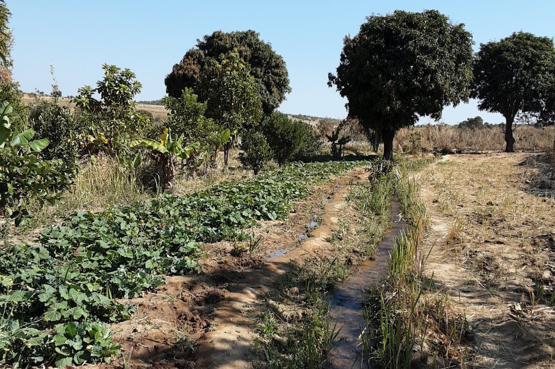

Reducing irrigation costs
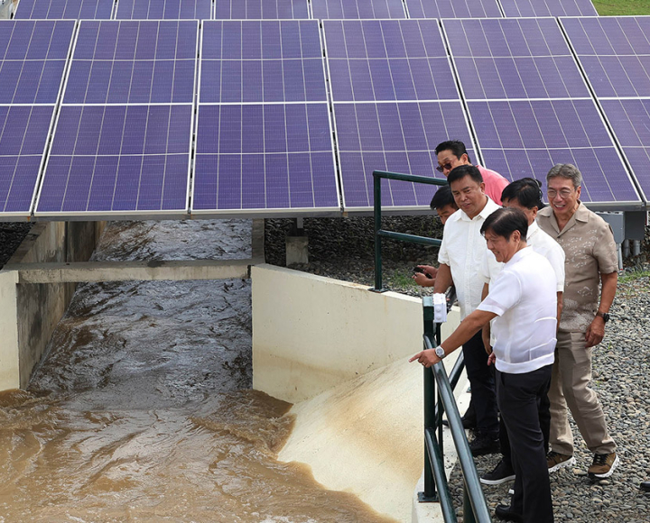
Irrigated agriculture in Angola has been developed in commercial farms using mainly central pivot and drip irrigation systems. The installation of new irrigation systems is foreseen in large extensions of land over 5000 hectares. Irrigated agriculture results in higher crop yields and allows higher incomes to farmers. However, commercial farms must invest in high energy supply to operate irrigation systems with water pumping stations.
The Mavo Diami project allows irrigation system operators to make knowledge-based decisions on when and how much to irrigate during the cropping season. The service can predict irrigation demand volumes during the cropping season and provide a user-friendly decision tool to irrigation operators.
If better information about irrigation volumes and intervals are provided, a significant reduction in energy costs can be achieved.
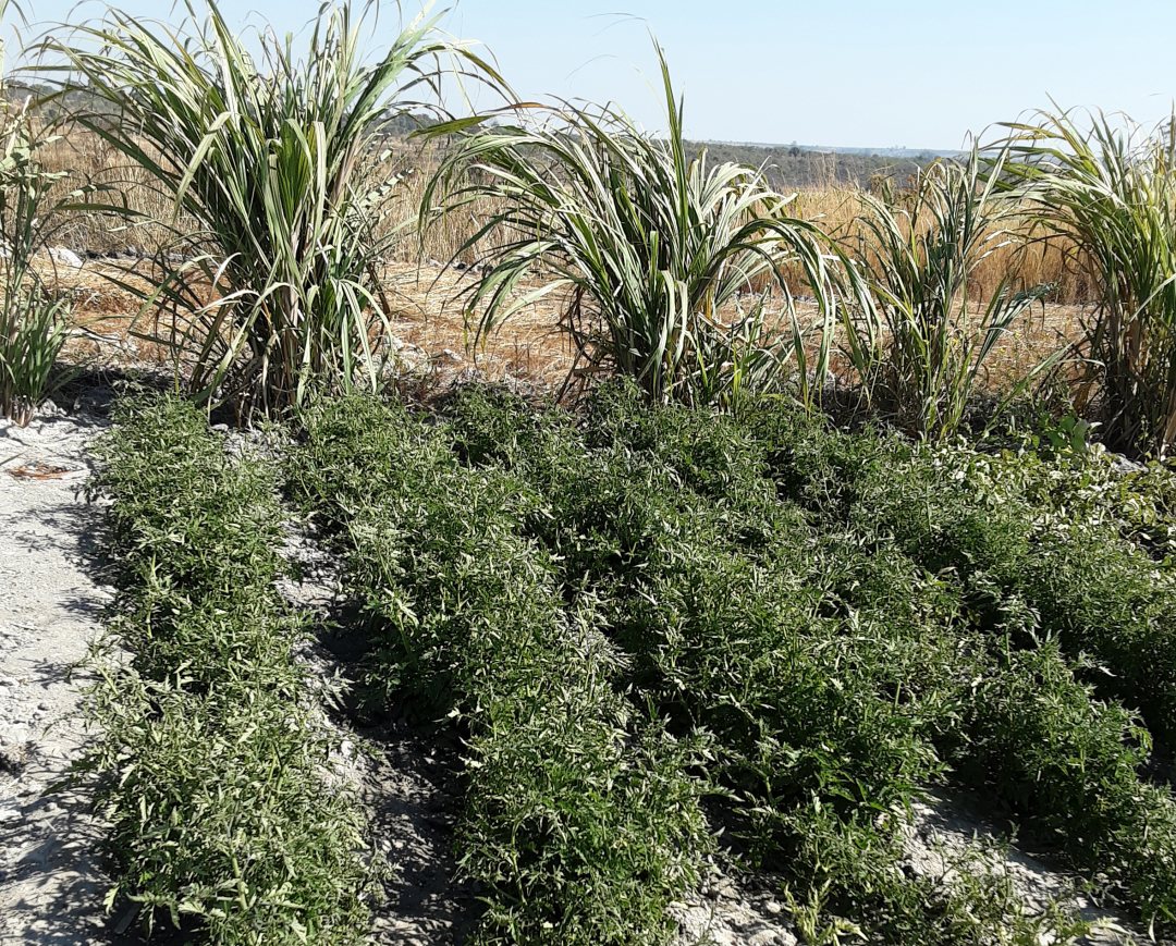

Next step
The Mavo Diami project has reached a next step as now over 100 farmers receive land suitability advice for various crops on their mobile phone through a Telegram application. The application is called the KRES Service. Next to the land suitability advice and agro-weather update, the farmer can also start a dialogue with the digital KRES assistant and ask questions about suitability for land preparation.
The current application is only available for farmers with a smartphone. During this growing season, the application is extended with new features. Also, a specific application for feature phones will be developed, so more farmers -mostly small holders- can benefit from the service as well.
The application is a joint effort from all the project partners in the Mavo Diami consortium, including World Vision Netherlands, eLEAF, FutureWater, Weather Impact, Aequator G&R, KresLider. The Mavo Diami project is supported by the Geodata for Agriculture and Water (G4AW) programme.
