Flood early warning system for tropical coasts
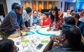
A working group of researchers from Deltares, the US, Australia, New Caledonia, UK, New Zealand, Spain and Fiji, published a roadmap to develop flood modelling systems for the world’s tropical coastlines.

Increasing flood risks
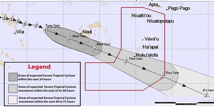
Many tropical countries and islands with reef-lined coasts are increasingly at risk of coastal flooding from tropical cyclones and rising sea levels. The Understanding Flooding Of Reef-lined Coasts (UFORiC ) working group has set its heart on providing stakeholders in coral reef-lined coastal zones with tools and research to reduce risks.
The group wants, as one of their priorities, to establish links with meteorological services, emergency managers, and stakeholders such as development banks and insurance companies.

Small islands extra vulnerable
Tropical coral reef-lined coasts have always been exposed to extreme storm impacts. Sea level rise, changes in wind and weather patterns and the widespread deterioration of coral reefs will make these small island nations even more prone to flooding. At the same time, most economic assets and approximately a third of the population across all small island nations are situated in the low-lying coastal plains, i.e. within 5 m elevation of mean sea level.
A global joint effort is necessitated by the limited resources each small coastal or island nation has in order to develop flood early warning systems and coastal climate services in support of adaptation.
Many processes
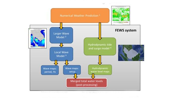
The UFORiC working group combined expertise on sea level rise, waves, flood forecasting and reef processes enables the design of a modelling system specific to forecast coastal flooding on coral reef-lined coasts.
There are many processes at play on coral reef-lined coasts that differ greatly from other environments and that necessitate a specialized approach. Deltares played a crucial role in figuring out the optimal use and coupling of various hydrodynamic models to produce relevant information for stakeholders in small island nations.


