Global water data at everyone’s fingertips
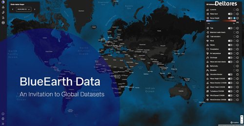
Research institute Deltares has launched a new platform called BlueEarth Data to share operational and historic water-related data for oceans, coasts and rivers on a global scale for professional specialists, researchers, and water managers all over the world.

Poorly managed water risks
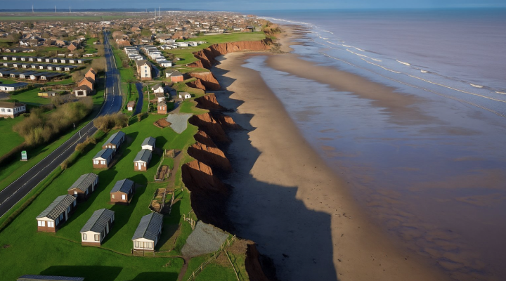
The new open source platform is free of charge and provides data to gain insight on global water-related risks and several types of hazards, such as floods, droughts, coastal erosion and storm surges. Water-related hazards cause lots of damage but are, unfortunately, often underestimated and poorly managed due to the lack of data, particularly in less-developed regions.
In addition, preparing for future coastal erosion and flooding requires data on several hazards, examples being erosion, waves, and extreme events. Until now, these datasets have not been readily available in a single environment.
Operational and historic data
This is why Deltares launched its new BlueEarth Data platform with operational and historic water-related data for oceans, coasts and rivers. The platform shares various forecast systems and data services developed by Deltares which are being combined on a single web-based application. Users can view global forecast maps of water levels, surge levels and currents but also view, inspect and download the time series data in detail at the 1000+ locations for free.


Connecting research communities
Jaap Kwadijk, chairman Scientific Council at Deltares: ‘This is a wonderful development. It is a major step forward. BlueEarth Data connects the research communities who work on coastal and river flooding and who have been separated for far too long.'
‘Even more importantly’, Kwadijk continues, ‘by providing this kind of open access, BlueEarth Data takes the first step towards bringing global flood hazard information to everyone’s fingertips. That is a prerequisite for transparency in decision-making.'
In consultation with its users, BlueEarth Data will soon be expanding the number of datasets.
