The world’s first interactive multimedia map celebrating centuries old water projects
Japan has long experienced natural phenomena such as typhoons, floods, earthquakes, and tsunamis. In the late 1800s, at Japan’s request, the Dutch contributed to the development of the country’s water management infrastructure by building dams, levees, reservoirs, and canals. More than 50 of these historical water projects are now featured in Waterworks, a unique Japanese-Dutch multimedia online map with descriptions, audio recordings, and photos. The Waterworks map was presented and displayed at the Netherlands Pavilion at Expo 2025 Osaka in April–May of this year, where it was well received.
Shared history
The relationship between the Netherlands and Japan dates back centuries and continues until today. Initially revolving around trade in the 1600s with the first trading post established in Hirado and later moved to the artificial island of Dejima, the relationship gradually expanded into areas other than trade. Given its topography, geology and climate, Japan has always experienced natural phenomena like typhoons, floods, earthquakes, tsunamis and so on. It has long worked on water defence systems to protect its land and its inhabitants, and create conditions suitable for agriculture and other activities. Similarly, the low-lying Netherlands, vulnerable to floods and seawater intrusion, has a centuries old tradition of water management. This started with ‘fighting’ water to keep it out to more recently ‘working with’ water to manage it as a valuable natural resource. Japan underwent rapid modernisation during the Meiji era (1868 to 1912) and invited Dutch civil engineers – ‘watermannen’ (literally water men) – to work on its water infrastructure. The watermannen started working on Japan’s water management system in dozens of projects across the country in the late 1800s.

Commemorating centuries of water collaboration
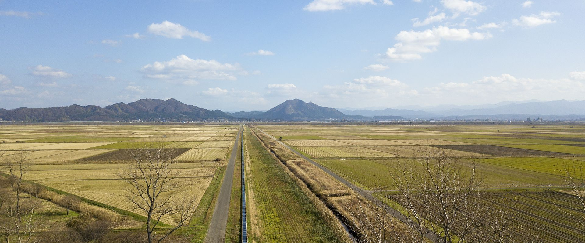
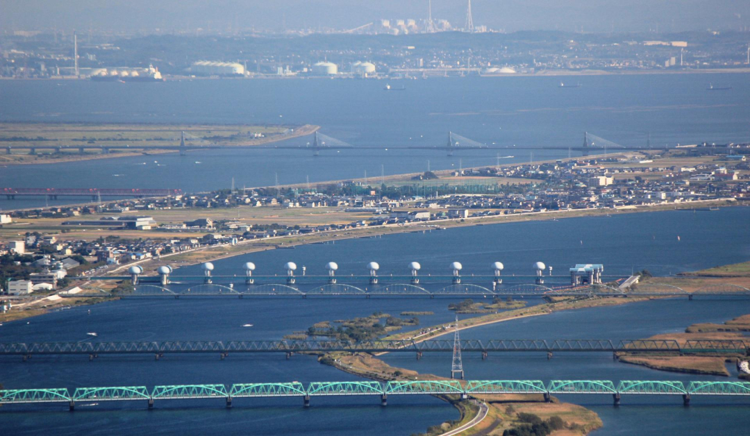
This long history of collaboration in the water sector, which has often been forgotten, is commemorated in the novel Waterworks project. This is a Japanese-Dutch multimedia online map that shows more than 50 water projects around the country designed and built by Dutch engineers at the request of Japan during the late 19th and early 20th centuries. The original engineering work in most of these sites is still visible today. They include dams, levees, tidal basins, drainage systems, canals, ports and a host of other works. The projects on the online map are represented by dots around a map of Japan. Click on a dot to immerse yourself in a unique water project, read about the project and its history, see photos, and learn about the engineering involved. Even more enjoyable, click on the sound to hear the sound of water and underwater life, and birds and insects chirping, and listen to peaceful Japanese instrumental music while visiting all the sites.
Waterworks
History has forgotten much of this engineering work, and the multimedia map brings the work back into sight. The locations were documented for the first time between 2000 and 2024. A physical edition of the map drew positive attention when showcased at the Netherlands Pavilion during Expo 2025 Osaka in April–May this year. Other smaller, shorter presentations are being held at music events in Japan. The next event is the SOUND FOREST | Pulse Echoes / WATERWORKS Project event at ZERO-SITE Takanawa Gateway in Tokyo at 18:00 to 23:00 JST on 28 June which will feature the musicians involved in the Waterworks project and the multimedia map itself.
Waterworks was initiated by Field Records with the support of Creative Industries Fund NL and the Embassy of the Kingdom of The Netherlands in Japan.
