Unmanned geo-data collection in remote coastal areas
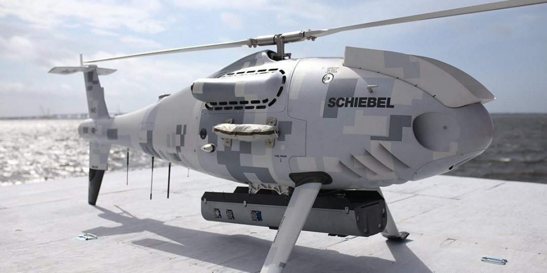
Geo-data specialist Fugro expanded its airborne lidar bathymetry RAMMS system, to be deployed from vessels, using a Schiebel Camcopter S-100 unmanned aerial system. Fugro, and co-developer of the bathymetry system Areté Associates, recently demonstrated the new capability to the US Navy in Florida.
VTOL-technology
The specialised unmanned aerial system (UAS) incorporates vertical take-off and landing (VTOL) technology, making it an ideal nearshore and coastal mapping solution in areas that lack aviation infrastructure.
Fugro supported the VTOL-demonstration and acquired vessel-based bathymetry over the test site for validation of the field trial data.

High in-air capability
In addition to extended geographic reach, the Camcopter S-100 solution provides significant sustainability gains. With low fuel consumption, high in-air endurance and rapid rate of data collection, the new approach reduces carbon emissions by 98 percent compared to large, legacy airborne lidar bathymetry (ALB) systems.
Other important benefits include reduced operational risk by eliminating the need for flight crew, and improved feature detection with no limits on data resolution given the system’s ability to hover over areas of interest. The Camcopter VTOL-solution is also well suited for mapping waters in high-relief areas, like canyons and fjords, where crewed, fixed-wing operations can be both difficult and dangerous.
Impacts of sealevel rise
'The ability to safely and efficiently map remote areas of the world is critical to managing the impacts of climate change and sea level rise,' said Mark MacDonald, Hydrography Director for Fugro in the Americas. According to MacDonald, RAMMS has proven successful to address nearshore and coastal mapping needs in places that can support traditional airborne operations.
'We are thrilled to now have a truly global solution that can access more remote and challenging locations with a high degree of accuracy and in a safe and environmentally friendly manner', he added.

Next generation mapping
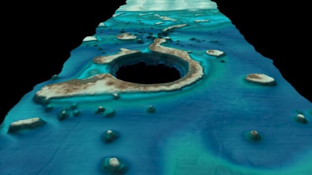
Launched in August 2018, the Rapid Airborne Multibeam Mapping System (RAMMS) is a highly efficient, next-generation airborne bathymetric mapping system that uses multibeam laser sensor technology to deliver industry-leading depth penetration and point densities. Compact in size and weighing just 14 kg (30 lb), the sensor can be deployed in small aircrafts or uncrewed autonomous vehicles (UAVs).
Mission data is transferred from the field to Fugro’s processing facilities daily using Back2BaseTM technology, enabling rapid quality assurance review and fast data production and delivery


