Finest moments of Dutch flood prevention management
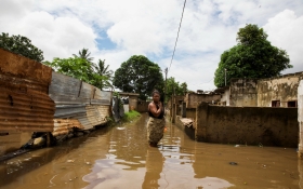
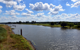
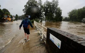
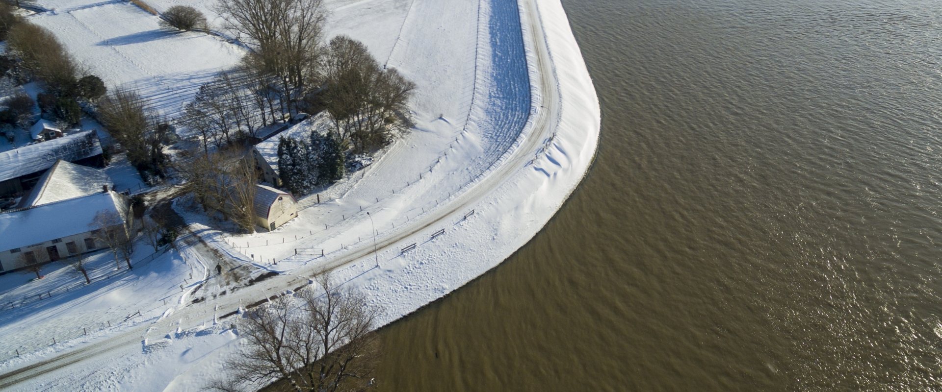
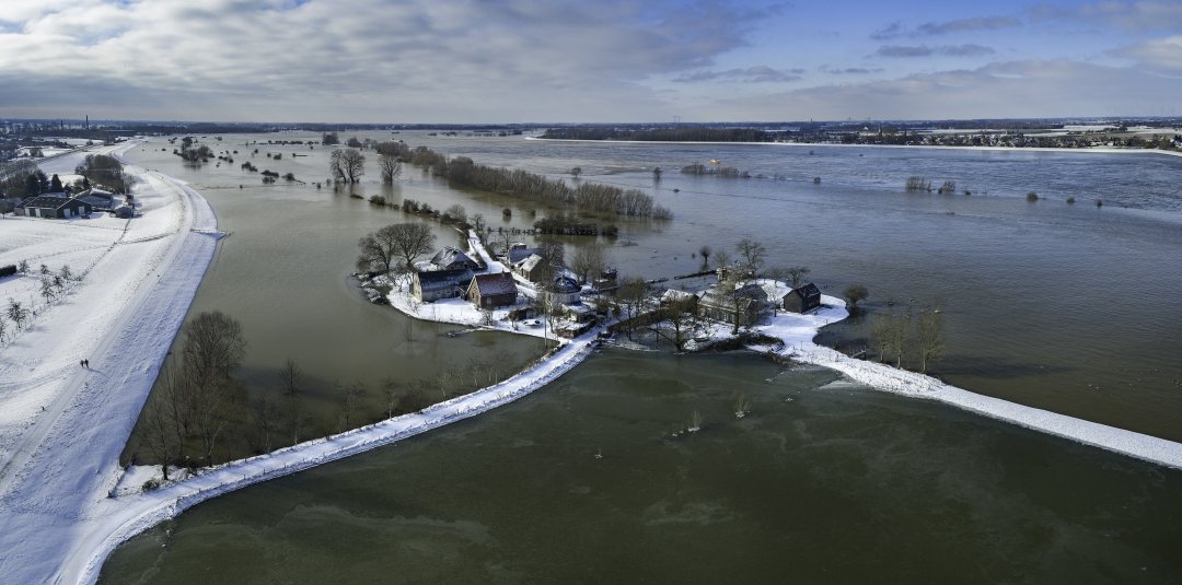
Last week, the summer levees of the two large rivers Rhine and Meuse in the Netherlands overtopped and the much higher winter levees had to take. This 1-in-5 year event not only delivered spectacular views, but also showcased the typical Dutch concept of controlled floodplains, giving more room for the rivers to flow at times of peak discharges.

All-hands-on-deck
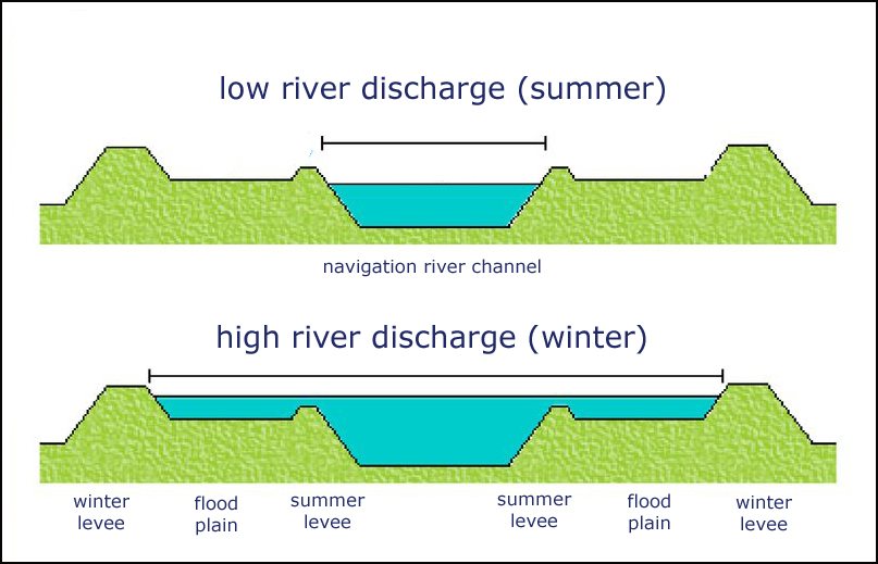
Peak river discharges that roll in from Germany (Rhine) and Belgium (Meuse) make the low summer levees of the lower Rhine and Meuse in the Netherlands to overtop easily. In such case, the much higher winter levees take over the protection of the floodprone delta areas. Some of which lie below sea level.
This typical flood prevention concept with overflowing floodplains in between a summer and a winter levee, in Dutch called ‘uiterwaarden’, gives much more room to the river to discharge large volumes of water to the North Sea quickly. At the Dutch national water management centre (WMCN) the incoming peak flows are closely monitored. Last week, it was all hands-on-deck for the flood managers again.
‘We monitor the rainfall and snow in the whole river catchment of the Rhine and Meuse so we can anticipate on the peak flow before it arrives at the Dutch border’, explains Harold van Waveren who works at the management centre of the Dutch national water authority Rijkswaterstaat. Here they keep an eye on all water levels and the predictions given by the hydraulic models, such as Flood Early Warning Systems (FEWS).

Finest moments
Prepared for all scenarios, the flood management experts at the centre experience their finest moments in circumstances like this. This is when the Dutch billion euro flood prevention programme can prove itself together with the managers that anticipate on the extreme high water levels.
‘The rainfall and snow melt in Germany and France last week, learned us to expect a discharge that would be high but not extreme’, continues Van Waveren. ‘The predictions generated by our models have a certain range that increases over the days ahead. So we know to stay alert at all times.'
Van Waveren: 'This time the temperature played an important role as we knew there were large snow packs in the river catchments and an increased snow melt could have resulted in a much higher peak discharge’.
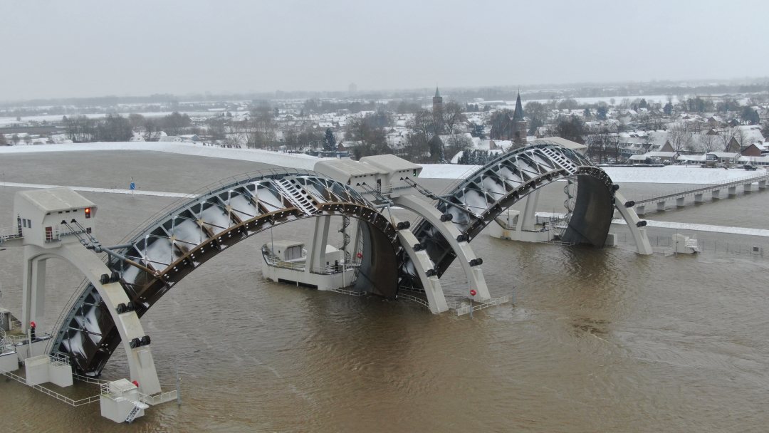
An important task for the WMCN is to open up large weirs on the rivers and coastal sluice gates to get the large water volumes to the North Sea as quickly as possible.
Inspection of winter levees
The centre keeps the regional water authorities informed so they can take necessary actions, such as closure of flood wall passages and intensify inspections of the winter levees.
‘All national and regional flood managers know what to do, given the prediction of certain peak flows’, adds Van Waveren. ‘We follow standard procedures. An important task for the regional managers is to keep an eye on winter levees with weak spots. Piping is known to be a mechanism underneath a levee that can cause a levee to fail. Therefore levee inspectors look for possible sand boils at the toe of the levees. Such sand boils can indicate the start of a serious undermining of the levee.'
Extra attention by the levee inspectors also go to levee sections that have just been strengthened, he adds. ‘It takes a few years for the ground to settle and the grass roots to fully develop. So the first two or three years, after the top layer has been renewed the levee is not yet on full strength. These sections get extra attention when the river tops the summer levees and the water reaches these winter levees for the first time.’
In the case of a levee section along the IJssel river, a branch of the Rhine, the local water authority decided to cover a recently upgraded section with a geotextile. Anchor staples were used to stick the geotextile to the soil.

More room for the river to flow
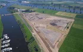
Past decade, Rijkswaterstaat completed large flood prevention projects on both the river Rhine and Meuse. The projects took away several bottle necks that hold up the river flow causing local high water levels. Instead of raising the levees to meet future higher peak discharges, the rivers were given more room to flow, by moving back the levees, deepening river beds and constructing by-passes in the controlled floodplains between the summer and winter levees.
‘In this case of a 5 year flood event, these measures only have a limited contribution to lowering of the water levels,’ Van Waveren explains. ‘For instance, in case of the international renowned by-pass near Nijmegen, the additional flow lowers the water level by 10 centimeters. The by-pass has been constructed to lower water levels to 40 centimeters, but only in cases when the river has to discharge twice as much water.’
Some of the by-passes constructed as part of the Room for the River and Grensmaas do not contribute as the water levels of this 1-in-5 year event did not reach the thresholds. This implies that there is even more flood prevention capacity left.
A great assurance to Van Waveren and all the other Dutch flood managers.
More information on national river flood management in The Netherlands on the websites: GovernmentNL, National Delta Programme, Rijkswaterstaat and Water Management Centrum Nederland (in Dutch only)
