First time river Rhine to reach North Sea via Dutch polder
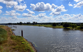
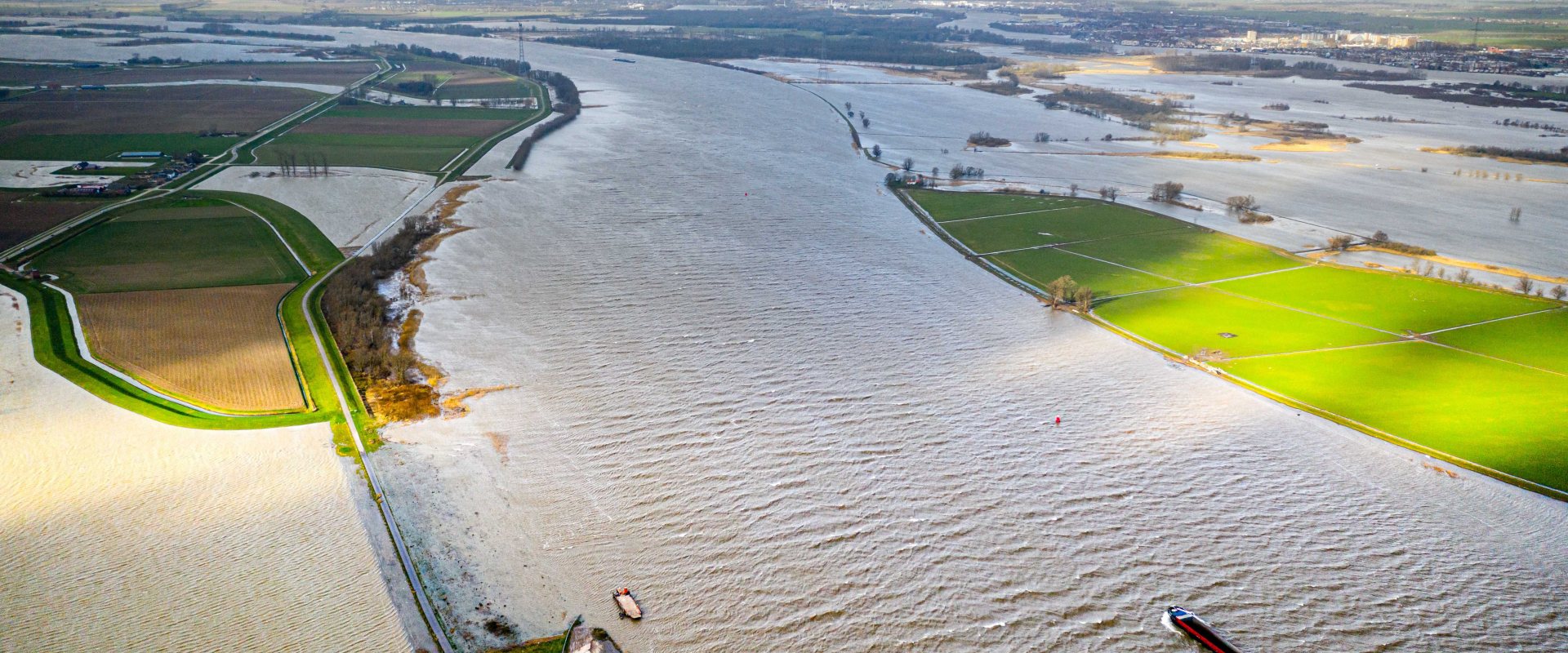
A controlled overtopping of a levee along the Rhine river turned the Noordwaard polder into a huge flood way. A surge, caused by storm Ciara and spring tide, had blocked the discharge of the river downstream in the Netherlands.

Threshold
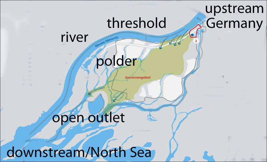
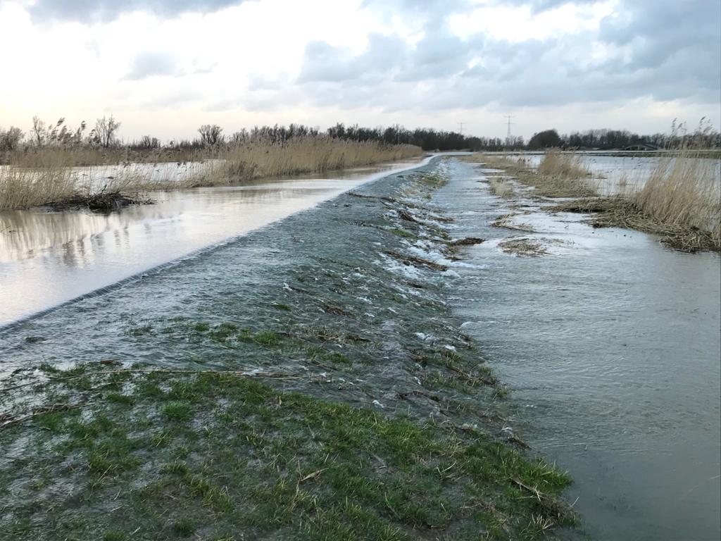
The surge from the sea side made the river rise even more and finally the water level surpassed the 2m high threshold that has been constructed at the Noordwaard polder.
It was the first time the threshold overtopped after the reconstruction of the whole 2000 hectares agricultural polder in 2015.

Storm surge and spring tide
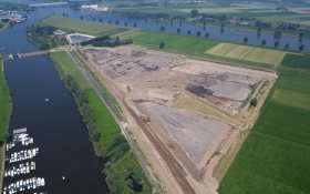
The construction of the threshold took place in 2015 when Dutch executive agency of the Ministry of Infrastructure and Water Management, Rijkswaterstaat, lowered the original river levee by 3 meters.
This measure was part of the national flood prevention programme Room for the River.
In case of an extreme river discharge, the flood risk increases when spring tide from the sea and heavy winds by a storm such as Ciara, set up a surge at this location.
This blocks the discharge and further increases the water levels upstream of the river.
By allowing the river to overtop and discharge a part of the flow into the polder, the upstream water levels decrease.
Resigned polder
The polder has flooded before, but this was the first time the river Rhine surpassed the level of the threshold so the water could freely flow through the polder in order to leave the polder on the other side. This made the polder act as a bypass.
It took Rijkswaterstaat four years to restructure the Noordwaard polder. New elevated roads, several new bridges and mounds, allow the polder to flood without posing risk to the 50 homes and farmers who have maintained their farm lands.
Room for the River
The depoldering of the Noordwaard was one of the largest projects of the Room for the River programme. This national flood prevention programme comprised of 30 projects, mainly along the river Rhine, Netherland's largest river.
The programme had two objectives. By giving the Rhine river more room its discharge capacity rose from 15.000 m3/s to 16.000 m3/s. Additionally the projects improved the spatial quality as well, making the river also economically and environmentally more vital.
