Follow-up seabed mapping Barents Sea
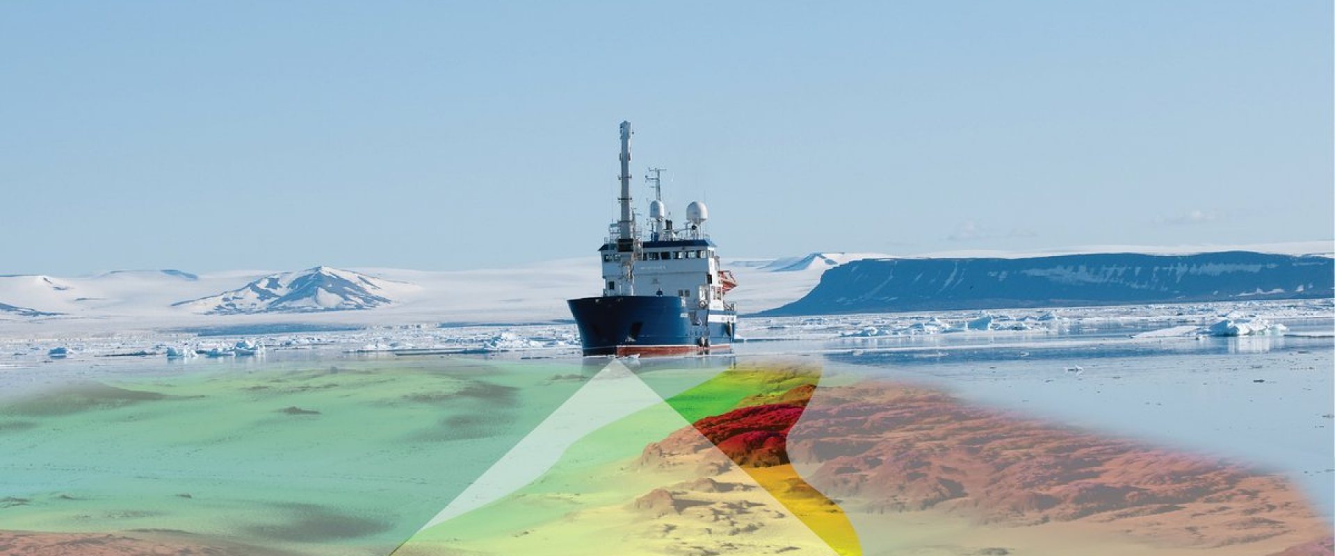
The Norwegian Hydrographic Service has awarded Fugro another hydrographic survey contract as part of the Mareano seabed mapping programme.
The survey area covers some 2700 km2 over Spitsbergenbanken, a large bank in the Barents Sea, in water depths ranging from 30 m to 500 m.
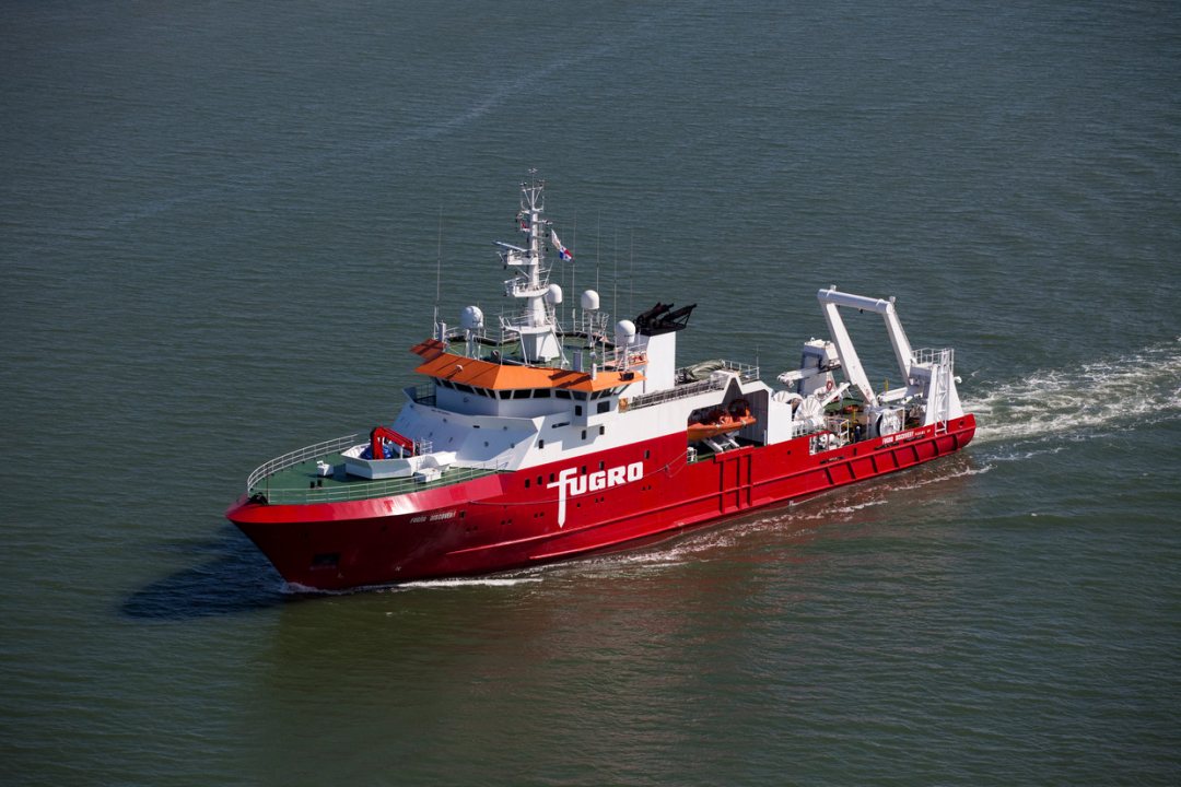

Earlier surveys
In 2005 the Norwegian Hydrographic Service started the Mareano programme to map the seabed of several coastal areas. This mapping includes depth and topography, sediment composition, biodiversity, habitats and biotopes as well as seabed pollution.
The first phase generated data that is now used by Norwegian authorities in their management of northern seas, in particular related to fisheries and future petroleum activities. The mapping also contributed to a better understanding of cold-water corals that live at a wide range of depths just off the Norwegian coast.
The second phase of the Mareano programme started in 2011 and continued the standardized mapping of the seabed in the Barents Sea, including new Norwegian areas.
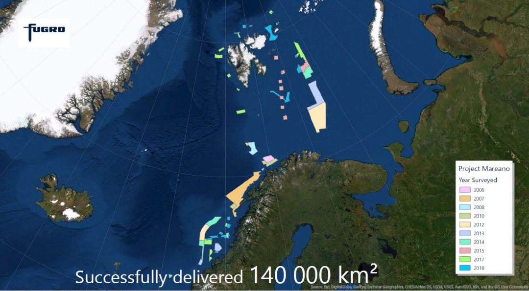

High-resolution datasets
Fugro has already completed 10 surveys for the programme since 2006 and acquired over 140 000 km2 of data.
This latest survey will collect high-resolution, high-density multibeam echosounder and sub-bottom data to produce seamless datasets for the Norwegian mapping programme. The fieldwork will run from June to late October this year.
Dr Marco Filippone, Chief Hydrographer at Fugro, said: ‘Over the past 14 years, we have deployed our specialist multibeam echosounder equipment and applied our certified hydrographers’ expertise on several surveys under this programme. It’s very rewarding to deliver continuous development in line with their objectives and expectations.’
