National Geographic and Utrecht University launch World Water Map project
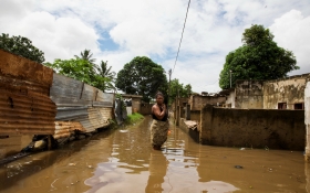
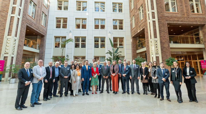
Utrecht water and drought expert Marc Bierkens and Utrecht Young Academy member Niko Wanders announced the launch of the World Water Map project, in cooperation with the National Geographic Society. Over the next five years they will be mapping the global water supplies and demands, and identifying 'hotspot' areas where water scarcity is most prevalent.
Bierkens and Wanders will not only examine where the current 'hotspots' are located but also why those areas become vulnerable to water scarcity. "If we know the why, we can also make better predictions about where and how new hotspots will emerge in the future, for example, in the sub-Sahara and metropolises in Asia", say the researchers.
Merging the power of science, education, and storytelling
Informed by data and insights from the World Water Map, the National Geographic Society will fund creative and impactful new projects in storytelling, education, and conservation as part of its World Freshwater Initiative. The Initiative will highlight freshwater-related stories from around the world, amplifying diverse stories and storytellers.
Alex Tait, Geographer at National Geographic Society: "Access to freshwater will be a defining issue for future generations. Understanding its sources and uses and how they change over time is critical to living sustainably on Earth, and is well-aligned with our mission: to illuminate and protect the wonder of our world. Our work with Utrecht University presents a unique opportunity to merge the power of science, education, and storytelling to inspire people to have a more sustainable relationship with freshwater and our planet."
Collecting data
Bierkens and Wanders will use the latest techniques, models, and satellite data to expand current datasets and collect new data - providing views into the current state and potential fate of the world’s freshwater supply. For example, they will collect data on different factors affecting freshwater supply, including temperature, quality, and its use in households and in sectors such as agriculture and energy production. The results of the World Water Map project will be made available to policymakers to help inform future freshwater conservation decisions.
About the researchers
Marc Bierkens is professor of Earth Surface Hydrology at Utrecht University and researcher at Deltares. His current research focuses on hydrological modelling on a global scale in relation to climate change and water availability. With his research group, he contributed to the mapping of water scarcity and groundwater depletion worldwide and groundwater salinisation in coastal and delta areas. His research shows that about 25% of the world's irrigation water is obtained in an unsustainable way. This amount has tripled since 1960. This leads to groundwater depletion in many parts of the world and to salinisation of fresh groundwater reserves of coasts and deltas.
Niko Wanders is university lecturer in Hydrology at Utrecht University. His work focuses on extreme hydrological situations: not only how they affect society, but also how climate change affects how often these situations occur. He is known as a keen science communicator and takes part in the public debate, on topics related to drought and climate change. Together with water managers and decision makers he explores the opportunities for seasonal forecasting and improved climate changes impact assessments of drought in the Netherlands and abroad.
