Online Water Footprint Assessment provides options for saving water
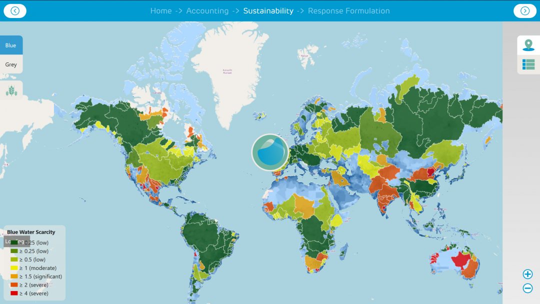
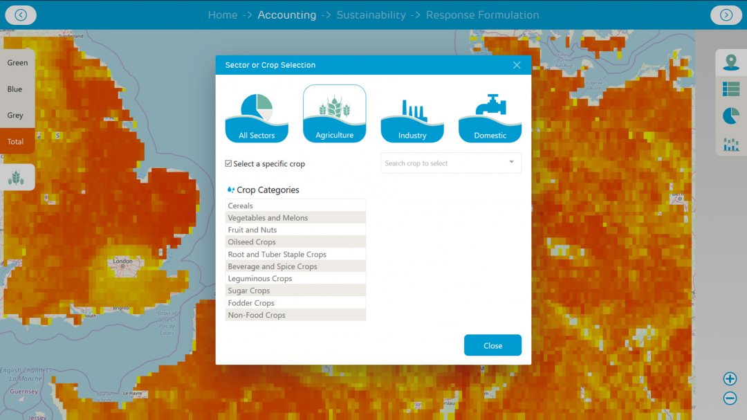
On the occasion of World Water Day, the Water Footprint Network introduced a redesigned online version of its Water Footprint Assessment tool. This free interactive tool has a new function that can assess whether it is wise to grow certain crops in certain areas, given the availability of water resources.

Latest global data
With this new version of the online tool users can perform more comprehensive evaluations, using the latest global scientific data on water related to commodities, crops, geographic areas and water sources. A key feature of the tool is the response formulation for optimal water use in the geographic assessment function.
Different crops can be evaluated against geographical standards of water use.

Data-based suggestions
According to developer Michiel van Heek the tool provides data-based suggestions, such as improved irrigation techniques, sector synergies, or use of different materials and structures.
‘The data in our tool is specific, actionable and understandable for water use and supply chains. It features much more than just a risk assessment, and can increase sustainability in water use by companies, governments, environmental initiatives and more,' said Heek.
About Water Footprint Network
Created in 2002 by Arjen Hoekstra, the Water Footprint Network is one of the family of environmental footprints that helps us understand how our production and consumption choices are affecting natural resources. It is possible to calculate water footprints for an individual person, a process, a product’s entire value chain or for a business, a river basin or a nation.
The Water Footprint Network aims to facilitate the use of this assessment tool and sharing best practices and developing tools and materials that help reach a worldwide sustainable use of fresh water.


