Radar rainfall nowcasting for more effective flood prevention
Researchers at Deltares, Wageningen University & Research and the Royal Netherlands Meteorological Institute KNMI developed a nowcasting technique that allows a more accurate short-term prediction of heavy rainfall.
The forecasts are especially useful for water managers to predetermine the most optimum water levels in polders, rivers and lakes.

Drought and increasing flood risk
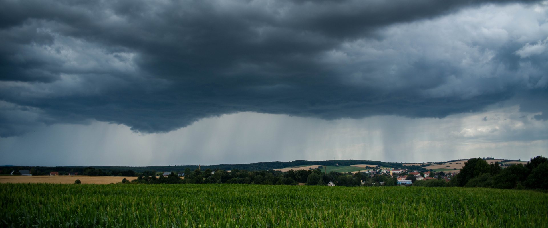
The nowcasting technique addresses the problem for Dutch water managers during the summer period with longer dry periods, alternated with sudden cloudbursts.
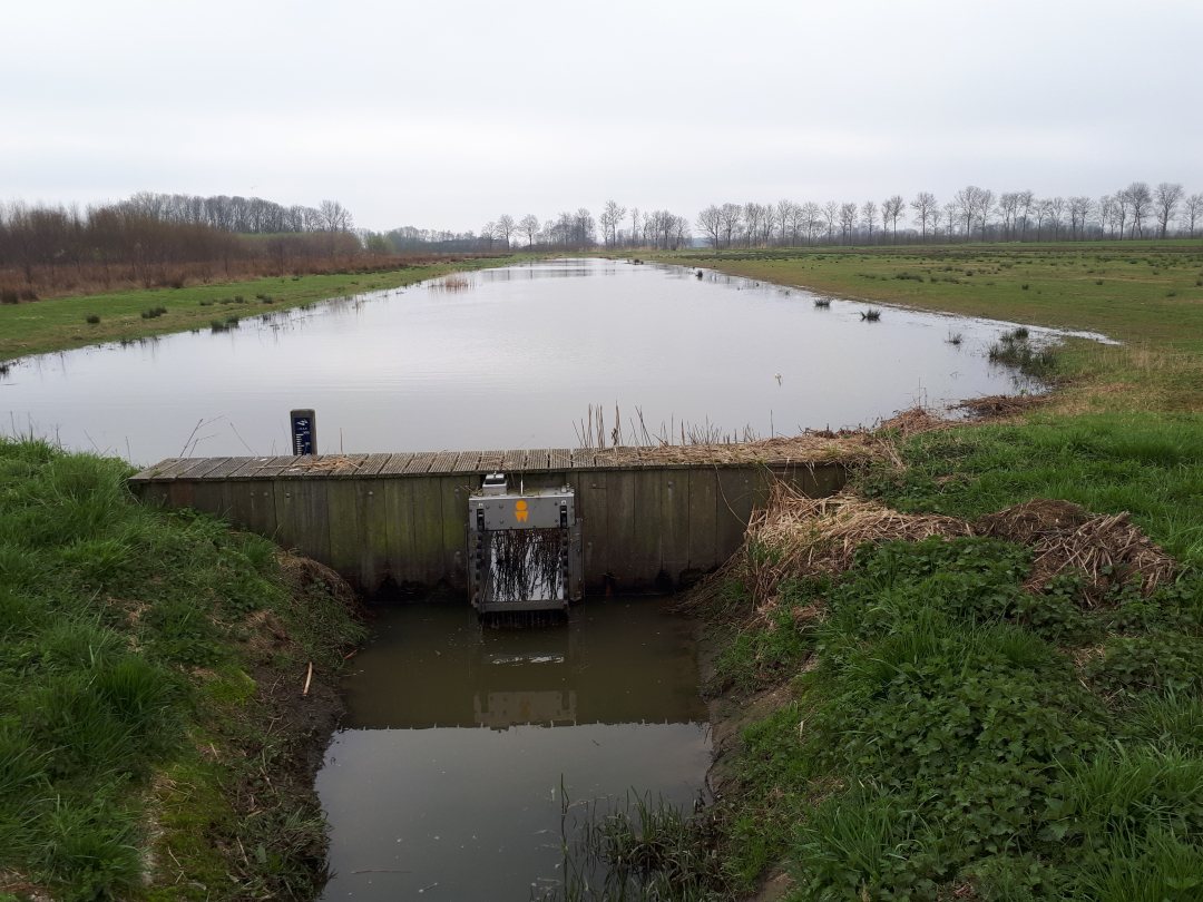
The Netherlands has a complex water system that is mainly orientated on flood prevention and the maximum drainage of rainwater from low lying polders. However, as dry spells prolong there is an increasing shortage of fresh water for agriculture and nature during the summer. In response, Dutch regional water authorities tend to raise the levels of the surface water bodies by attaining high weir levels. These high-water levels, however, increase the risk of a local flooding in case of a sudden cloudburst.
Therefore, Dutch water authorities seek a better prediction of a local cloudburst so they can lower their weirs only a few hours before a heavy rainfall, and thus preventing a possible flood.

Advanced statistical extrapolation
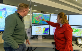
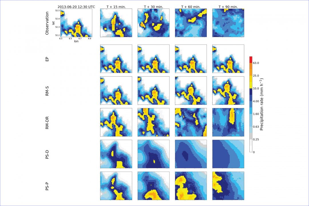
For more precise short-term precipitation forecasting, the researchers used advanced statistical extrapolation techniques from radar data. The new method uses new radar data every five minutes to make a prediction for about three to six hours in advance. This update frequency is much faster than in standard weather models, which update about every three hours.
Many nowcasting algorithms are currently available, but their quality was uncertain, and it was unclear whether their accuracy depends on the location and the season.
Twelve Dutch water bodies
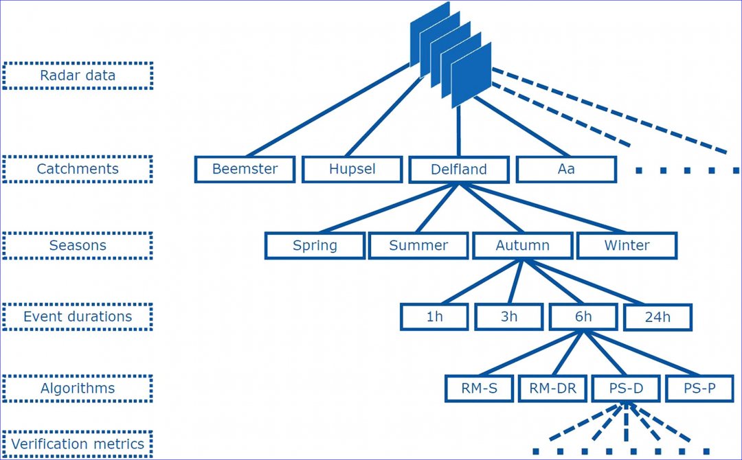
As part of the study, the quality of the nowcasting methods has been investigated for twelve Dutch river basins and polders, analysing 1,533 precipitation events of varying intensity that took place over a period of eleven years.
The predictability of the precipitation appeared to be clearly related to the duration of the precipitation and the season.
Ruben Imhoff of Deltares said: ‘Our large-scale analysis is unique because we have quantified where and when we can expect a certain quality of radar rainfall nowcasting. This helps the end user to decide whether or not the nowcasting is worth using. For us as researchers, it provides insight into future developments that are needed to make the nowcasts even better.’

Next step: predicting thunderstorms
The study reported a substantial difference between the methods tested. Those that included more processes than just the direction of travel of the rainstorms often provided better predictions. These were the more recently developed algorithms, which are often open source as well.
The study also raised a point of attention: all the nowcasting methods tested had difficulty in accurately predicting the behaviour of rapidly growing or dissipating rainstorms. As an important next step, the researchers advice to focus on these processes in more detail.
The study Spatial and Temporal Evaluation of Radar Rainfall Nowcasting Techniques on 1,533 Events was published on 1 August in the journal Water Resources Research.
