Launch of the new Transboundary Aquifers of the World map 2025
Water is among the most shared resources on earth. Close to half of the earth’s land surface lies within river and lake basins that cross international borders, while an estimated two billion people rely on groundwater. Much of this groundwater is stored in aquifers that extend across national boundaries. These shared reserves link livelihoods, community well-being, and ecosystem health. As climate change, population growth, and economic development intensify the pressure on these systems, there is an increasing need to manage groundwater equitably and sustainably.
Launched at World Water Week in Stockholm
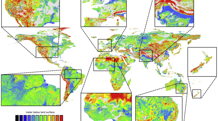
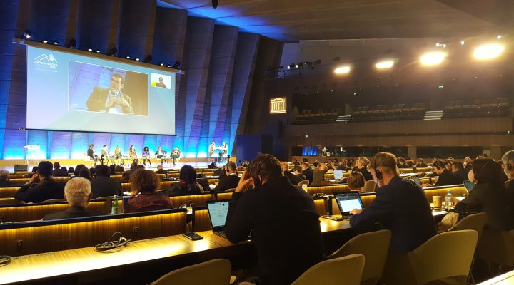
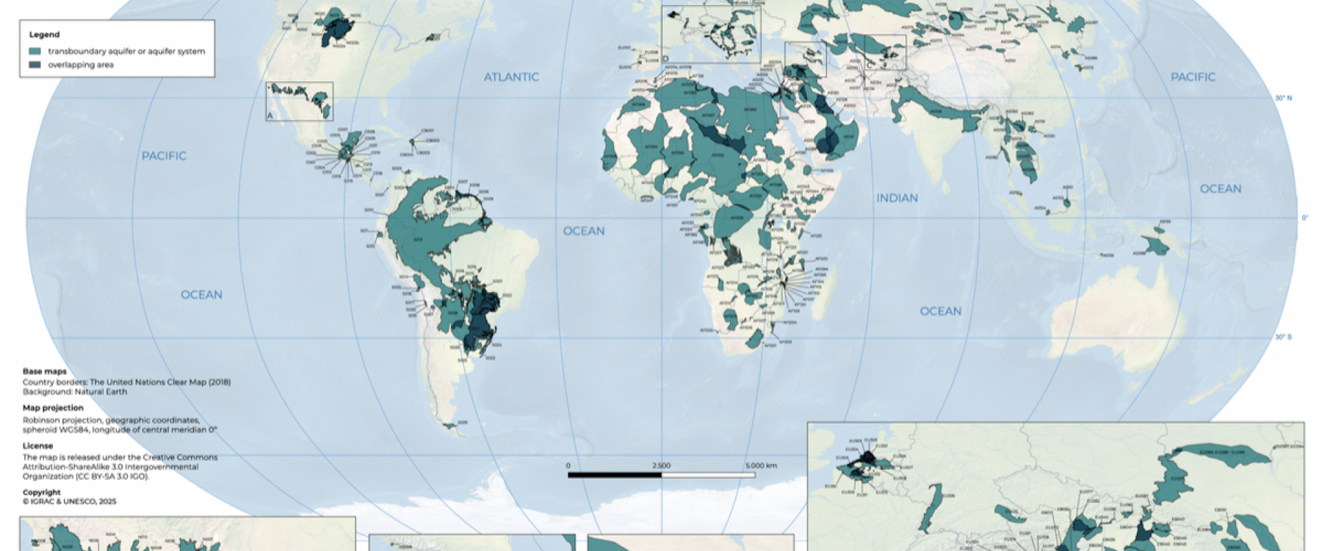
Against this backdrop, the Transboundary Aquifers (TBA’s) of the World Map 2025 was launched at World Water Week in Stockholm last August. The map is now available for download on the website of the International Groundwater Resources Assessment Centre (IGRAC). Based in Delft, the Netherlands, IGRAC is an international knowledge centre operating under the auspices of UNESCO and the World Meteorological Organization (WMO). Its mission is to enhance the understanding, management, and governance of groundwater resources, ensuring they are used sustainably to support people, ecosystems, and economies.
This updated global overview highlights both the scale and the complexity of shared groundwater resources and provides valuable insights to strengthen international cooperation.

A tool for shared water management
The TBA map has been a reference point for groundwater governance since its first publication in 2009. Over the past 15 years, it has evolved into an essential tool for supporting dialogue between science and policy. The 2025 edition marks the most extensive update to date. It identifies 49 new aquifers, revises 41, and removes 91 that lacked sufficient evidence or were replaced by more accurate delineations. In total, the map now includes 426 transboundary aquifers.
The map was developed by IGRAC, with the support of UNESCO and the Water and Development Partnership Programme, and funded by the Government of the Netherlands. By consolidating the best available knowledge, it enables governments and stakeholders to base their decisions on a shared understanding of groundwater systems. The 2025 edition also provides descriptive information for each aquifer, such as geological characteristics and aquifer type. This makes it a practical and accessible tool for those engaged in water cooperation and management.
What sets the 2025 edition apart
Mapping underground formations that cross political boundaries is complex. Aquifers are three-dimensional systems, and their characterisation depends on data from multiple countries. The 2025 edition reflects significant advances in knowledge. It is based on an extensive literature review of around 150 references in several languages, complemented by contributions from regional knowledge centres and experts. A scientific commission under the International Association of Hydrogeologists (IAH) oversaw the process to ensure scientific quality and independence.
For the first time, the map introduces thematic layers that enhance its usability. One highlights the availability of hydrogeological data worldwide, while another reflects countries’ reporting against Sustainable Development Goal indicator 6.5.2. This indicator monitors cooperation over shared water resources. These features improve transparency, showing where aquifers are well-documented and where information remains scarce. By signalling such gaps, the map not only supports better interpretation but also guides future research and investment.

Why the map matters
Groundwater is largely invisible. Yet it sustains the health, food security, and resilience of billions of people. When aquifers extend across national borders, their management becomes particularly complex. Countries may work with different governance systems, levels of data collection, or competing interests. Without a shared knowledge base, decisions about water use, pollution control, or infrastructure can create inequalities or trigger tensions between neighbours.
The TBA map offers a neutral, science-based foundation for dialogue. By consolidating and visualising knowledge from a wide range of studies and national sources, it provides stakeholders with a common reference point. This helps identify where cooperation is most needed and supports more informed policymaking.
Supporting cooperation and conflict prevention
Shared groundwater resources can be a source of friction if not managed responsibly. Over-abstraction, contamination, or unilateral development in one country often has consequences across borders, especially in regions already facing water stress. Yet history shows that cooperation is more common than conflict. Countries that collaborate on water management often benefit not only from more secure supplies, but also from stronger diplomatic and economic ties.
The TBA map facilitates this cooperative approach. By providing transparent data, it enables countries to discuss shared challenges on the basis of the same information, reducing misunderstandings and building trust. Still, operational agreements on transboundary aquifers remain limited worldwide. This underlines the need to raise awareness and to integrate groundwater into broader water diplomacy agendas.
A foundation for dialogue, cooperation, and action
It is clear that the TBA map 2025 is not only a scientific product. It is a tool for resilience, diplomacy, and sustainable development. By bringing hidden but essential groundwater systems to the daylight, it offers governments, practitioners, and communities the knowledge they need to manage resources equitably and sustainably.
As pressures on water continue to grow, the importance of shared resource management will only increase. The new TBA map provides a foundation for dialogue, cooperation, and action – essential steps towards preventing conflict and ensuring a secure water future for all.
